


Backpacking to Iva Bell Hot Springs via Duck Pass
Check out this one-of-a-kind backpacking adventure to one of Mammoth Lakes’ best hidden gems

NAVIGATE THIS GUIDE
Summary
This is hands-down one my favorite backpacking trips of all time.
This unique route was absolutely stunning—I had to get the word out! This gorgeous & challenging high-elevation backpacking adventure begins with a beautiful hike over Duck Pass, passes back around Mammoth’s Cascade Valley and rewards you with a remote hot spring overlooking your own private Sierra Nevada canyon when you arrive. How often can you say that?
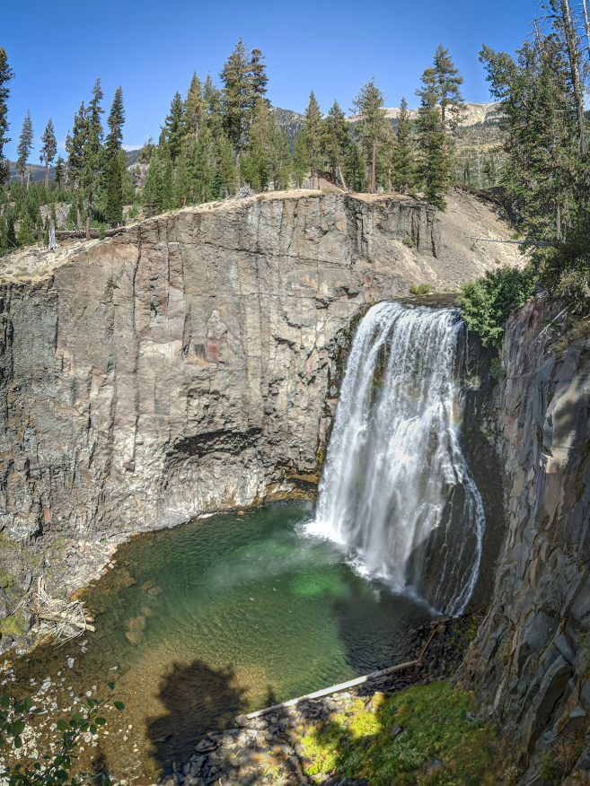
Rather than doubling back over a high elevation pass, the second half of the trip follows a relatively flat but gorgeous trail along a high ledge overlooking a valley that ends at Red’s Meadow Pack Station, Rainbow Falls and Devil’s Postpile National Monument.
The best part—hikers can access both the beginning and ending trailheads via a free shuttle from downtown Mammoth. You get all the joy of a thru-hike without any of the hassle of setting up multiple vehicles. DOES IT GET ANY BETTER THAN THAT??
Frankly I wouldn’t recommend experiencing these trails any other way. Check out the details below.
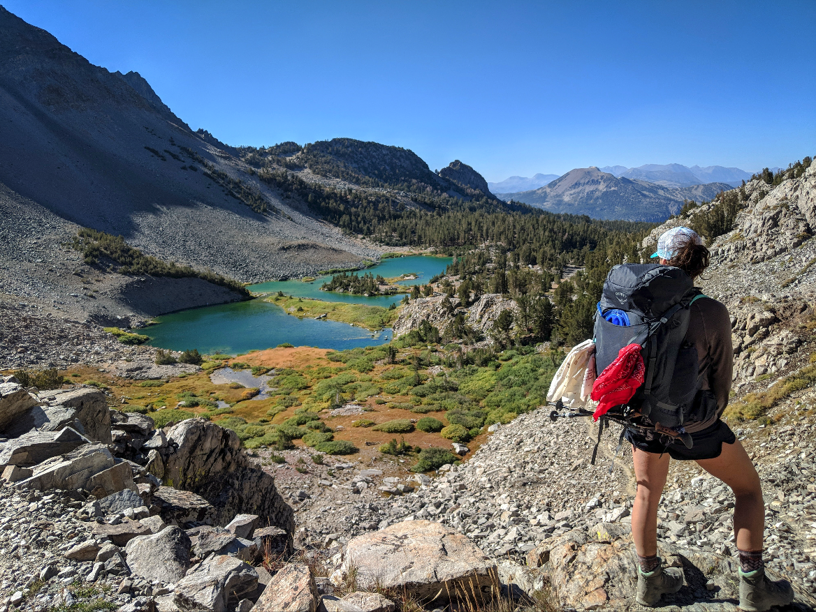
Photo: Backpacking the uphill grind of Duck Pass looking down on Barney Lake (Day 1)

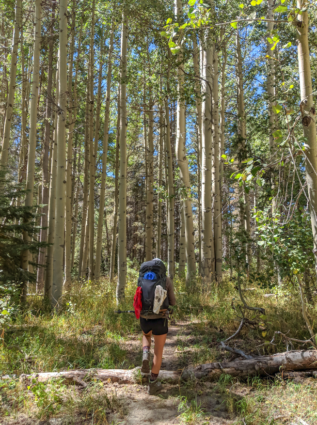
Photo: Hiking along Duck Lake toward the back side of Duck Pass and Mammoth’s beautiful Cascade Valley (Day 1)
When to Plan Your Trip

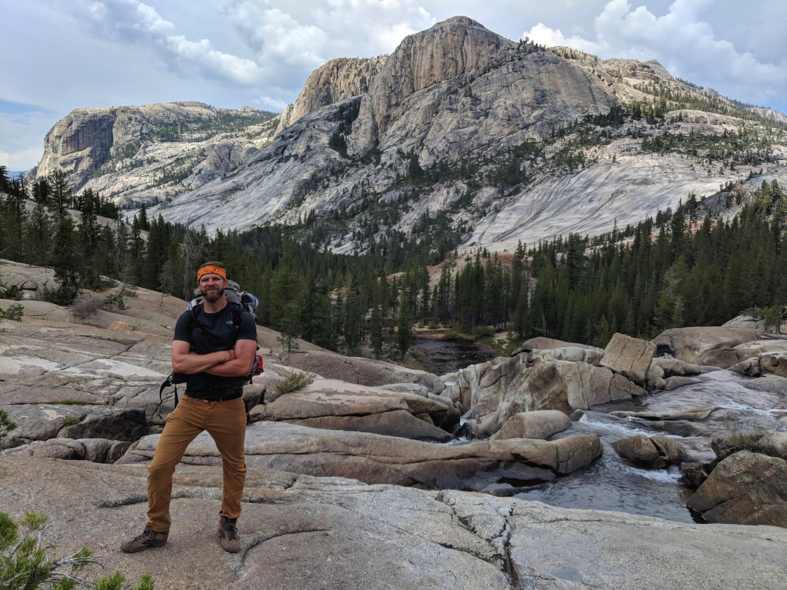
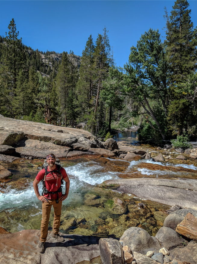
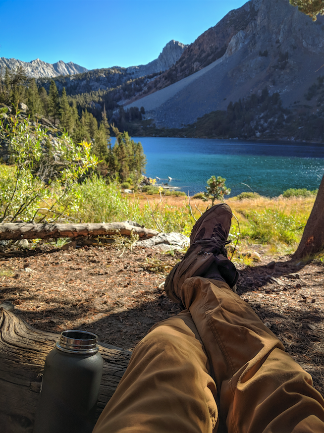
Photo: Posing for a quick photo on a long 14-mile grind from Iva Bell Hot Springs to Red’s Meadow (Day 3)
Mid-summer is your best bet
Because this hike wraps around the ever-snowy Mammoth Mountain, both trailheads are all highly seasonal, but in general are snow-free from mid-July through late September/early October.
Lying at very different elevations, each of the legs featured below may be accessible at different times of the backpacking season. If you’re not in the middle of summer, you may want to pay close attention to trail conditions.
Always check Duck Pass for winter conditions
Trail clearance over the 10,000ft.+ Duck Pass completely depends on snowpack from the previous season, but can dip below freezing temperatures and surprise hikers with cold weather any time of year.
The main point to note is that this route is best during mid-summer months. New backpackers are constantly surprised at the inconvenient reality that snow doesn’t melt from the high peaks of Duck Lake until mid July at the earliest on a typical year.
Confirm that Minaret Rd. is open to Red’s Meadow
Minaret Road is the ONLY road accessing the Red’s Meadow trailhead, and it’s highly seasonal as well. Hikers will want to check that the road is open and that shuttle buses are running to/from the Devil’s Postpile Monument Area.
This route is the lowest elevation trail heading directly to Iva Bell hot springs, giving hikers access earlier and later in the season than other routes. If you’re planning your trip during summer months, closures shouldn’t be an issue, but you should always check.
Options for Completing Your Hike

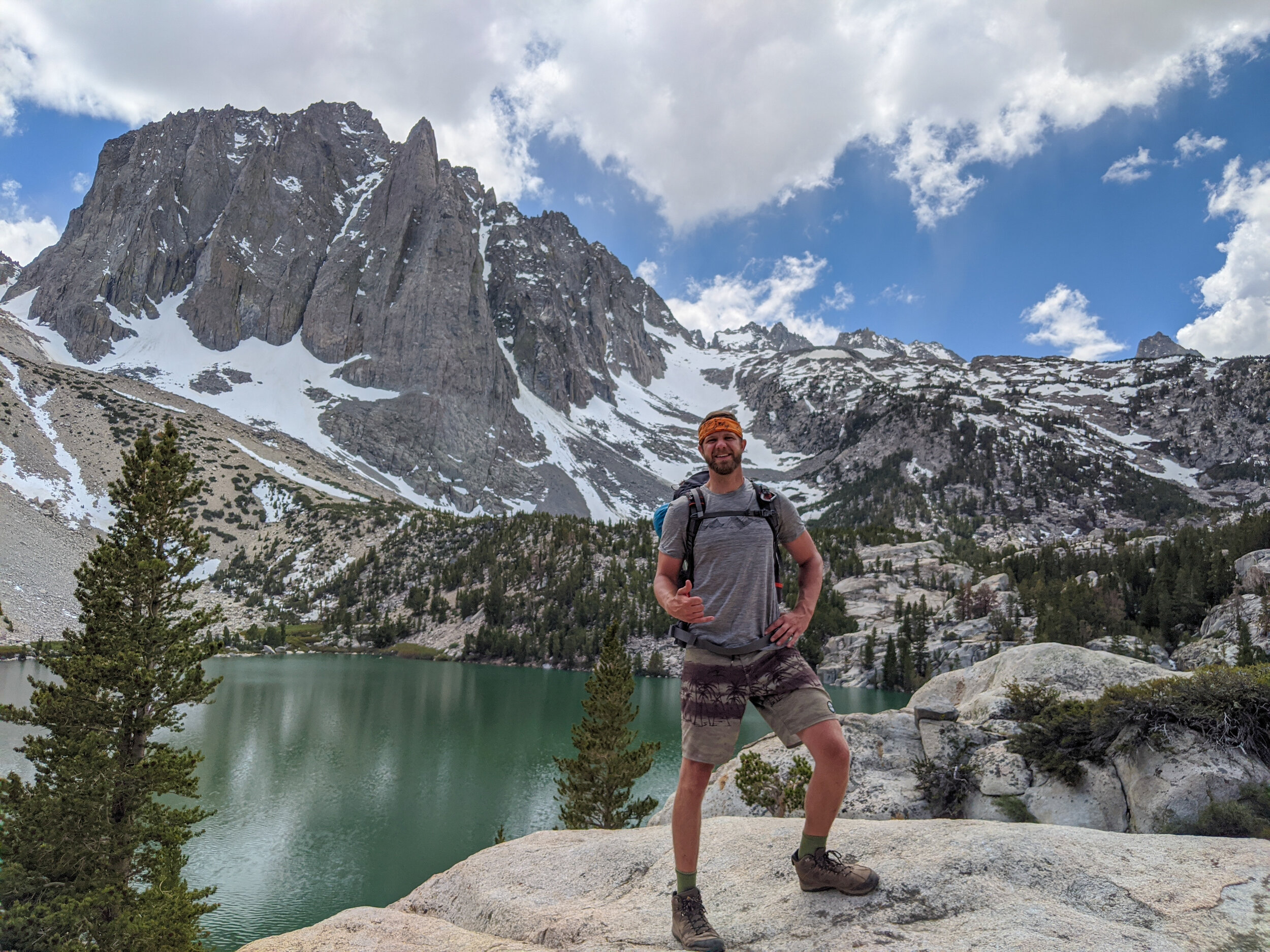
Photo: Stopping to admire these beautiful rock striations left by ancient glaciers over Duck Pass (Day 1)
There are multiple ways to reach Iva Bell Hot Springs:
1) Three day thru-hike, starting at Duck Pass and ending at Red’s Meadow
Highly recommended! This is the primary route featured in this article. We took this route and loved it. For convenience, we set up a two-car shuttle system with vehicles at Red’s Meadow and the Duck Pass Trailhead.
Here’s the best part!! If you only have one vehicle, you can access both trailheads via Mammoth’s public transportation lines (see details below).
2) Out-and-Back Loop from Red’s Meadow
This is the shortest, flattest and easiest method of reaching Iva Bell Hot Springs. At 14 miles each direction, you can reach the springs in just one (long) day of hiking. You’d be missing out on a lot of great scenery over the pass, but if you’ve already conquered that route or if efficiency is your primary objective, this is a very beautiful and popular route among local hikers.
3) Out-and-Back Loop from Duck Pass Trailhead via Minnow Creek Trail
This is by far the most difficult option, but hey, some people like a challenge. Between Purple Lake and Iva Bell, you can make a loop out of the parallel Minnow Creek & Fish Creek Trails, taking one on the way out and the other on the way back.
Note that Minnow Creek Trail involves an additional 1,000 ft. (roughly) of elevation gain & loss than Fish Creek Trail, as it ascends out of the Cascade Valley on the opposite side and runs along the vista, compared to simply following the valley floor.
Distance & Elevation Gain

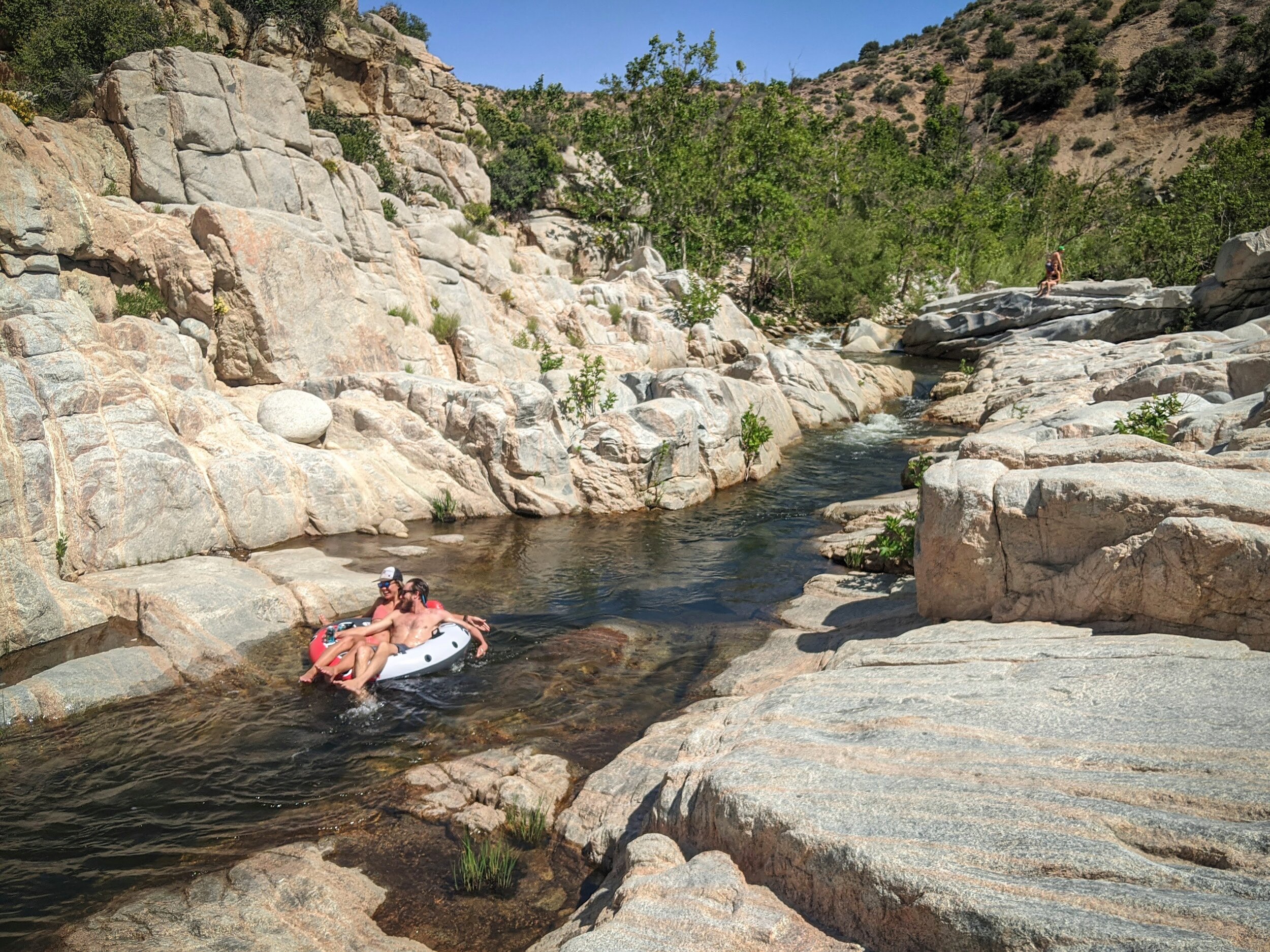
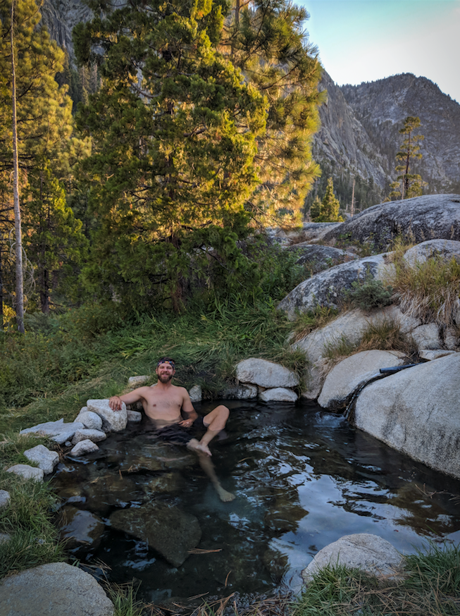
Photo: One of many scenic tubs at Iva Bell Hot Springs (Day 2)
Thru-hike from Duck Pass to Red’s Meadow via Iva Bell Hot Springs
As you’ve seen already, hikers can access Iva Bell from several trailheads.
For the especially mesmerizing route we’re recommending in this guide, here’s a possible hiking plan for a three-day journey:
Day 1 - Duck Pass Trailhead to Purple Lake - 7.4 miles
Lowest Elevation: 9,120 ft. - Duck Pass Trailhead
Highest Elevation: 10,800 ft. - Top of Duck Pass
Largest Elevation Gain/Loss: +1,680 ft.
Day 2 - Purple Lake to Iva Belle Hot Springs via Fish Creek Tr. - 8.4 miles
Highest Elevation: 9,100 ft. - Purple Lake
Lowest Elevation: 7,382 ft. - Iva Bell Hot Springs
Largest Elevation Gain/Loss: -1,718 ft.
Day 3 - Iva Belle to Red’s Meadow - 14 miles
Lowest Elevation: 6,400 ft. - Bottom of Fish Creek Tr.
Highest Elevation: 7,500 ft. - Red’s Meadow
Largest Elevation Gain/Loss: +1,100 ft.
Total Mileage: 29.8 miles
Permits & Reservations
How do I get a backpacking permit?
To keep the number of hikers at a manageable level, these trails have a daily quota for backpackers accessing the backcountry.
There are two ways to secure your backcountry camping permit in the Mammoth area:
Online - You can reserve your permit for Duck Pass at Reservation.gov and find more information at the Inyo National Forest Website.
In-person as a walk-up - We acquired our permits in-person from the Mammoth Lakes Welcome Center. Permits become available once the center opens on the day before your departure. You can also rent your bear canisters from the same desk that issues your permit (see below).
When/how do I apply online?
Quota Enforced: For most wilderness areas, quota season is May 1 - Nov. 1 (see add. notes below).
Lottery? No - first-come-first-served
Best Way to Apply: Online: Permit information | Online application form
When to Apply:
Reserved: Exactly 168 days (6 mo.) before desired start date for best odds. For July trip dates, apply in January. For August trip dates, apply in February, etc. Visit here to determine your exact application date.
Walk-ups: Walk-up permits become available at visitor centers upon opening the day before your desired start date and are first-come-first served.
Permits Awarded Per Day: Varies per trail - List of trail names and quota
Odds of Approval: first-come-first serve - odds are good if you’re diligent with your application.
Cost: $5/ Person. Advanced online reservations include an additional application fee of $10 flat.
Additional Wilderness Permit Resources
For more information on backpacking permits, check out our pages below:
Spearhead Adventure - Mammoth Lakes Wilderness Permits
Spearhead Adventure - Inyo National Forest Wilderness Permits

Download your FREE 2021 Wilderness Permit Deadline Calendar
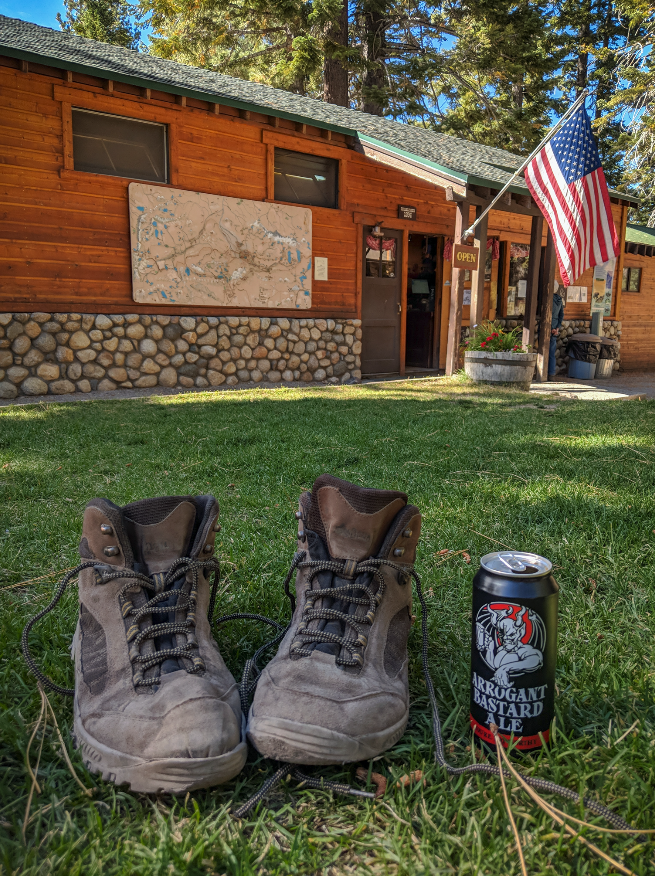
What to Pack
In addition to regular backpacking gear…
I’d recommend the following standout items:
Bear canisters are required and can be rented from the Mammoth Lakes Welcome Center where you pick up your permit (they’re just a few bucks a day).
An anti-venom kit (hopefully never used)
Swimsuit (unless you party naked)
Possibly some lightweight water shoes or crocs -- There’s a river crossing in Fish Creek that would have been much easier with rubber soles; the ground all around the hot springs area is also really wet and murky

Photo: Hiking along Fish Creek toward the Iva Bell on Day 2

Photo: Fish Creek Trail drops down into an impressive valley toward Iva Bell Hot Springs on Day 2
Setting Up Your Shuttle

A convenient two-vehicle shuttle
The night before the hike, we took both vehicles down and camped at Red’s Meadow campground. The next morning, we left one vehicle at the Red’s Meadow General Store parking lot with their approval and shuttled our second vehicle to the Duck Pass trailhead. Additional notes below:
There is a $10 fee per vehicle of taking Minaret Rd. down to the Red’s Meadow area (free entry with a National Parks Pass).
The operators at the Red’s Meadow General Store let us park in their parking lot. They simply wanted us to let them know that we were thru-hiking, and to include a note on the dashboard of the car with our return date.
Remember to lock any extra food in your vehicles in the parking lot bear boxes, unless you want a furry friend ripping off your car door.
Public transportation to both trailheads
If you only have one car available, you can park at the Mammoth Resort Adventure Center parking lot and take public transportation lines to each trailhead if in season.
Find route info for the Lakes Basin Trolley (Duck Pass) here.
Hitchhike as a last resort
Although I’d never encourage hitchhiking due to obvious safety concerns, people tend to be very cool and understanding with backpackers around PCT & JMT checkpoints. Just so happens to be that Red’s Meadow is one of those locations! This popular tourist hiking area is one spot where just about any backpacker would likely have success bumming a ride without getting turned away with rolled eyes and dirty looks.
Who should you ask? Find somebody with a pickup truck (preferably someone that looks like they understand hiking & backpacking culture) near the Red’s Meadow or Devi’s Postpile parking lots and see if you can hop in the truck bed to the one road leading back to downtown Mammoth. Had a friend last summer who pulled this move on this exact same route.
Safety Tips & Unexpected Challenges
Finding the actual hot spring pools once we arrived
We knew we were close, because we were at the correct location on the map and could see other people’s campsites in the vicinity. However, the hot springs themselves aren’t visible from Fish Creek Trail, and there’s no signage on-site. Ironically the springs don’t contain sulfur, so there was no unmistakable smell to guide our way.
The springs are located uphill and eastward from the junction of Fish Creek Trail and Minnow Creek Trail. If in doubt, find Sharktooth Creek (look for a wooden log bridge), and follow it roughly 100 yards uphill. Following signs to Fish Valley or the PCT will not get you there.
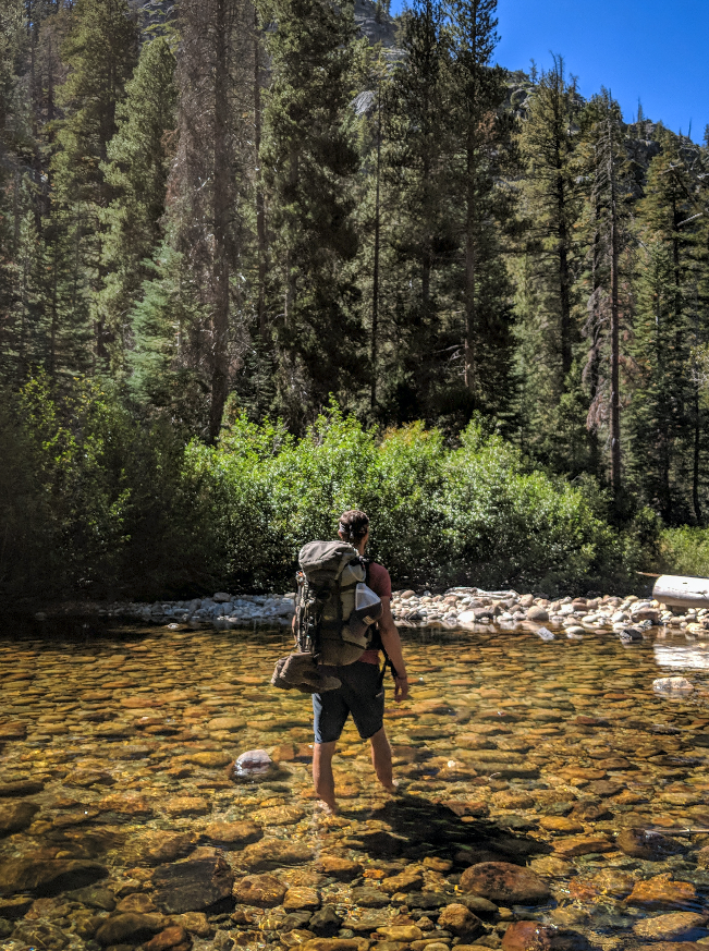
The Fish Creek river crossing
You’ll face this challenge on day 2 between Purple Lake and Iva Bell. Even with a low water level, the river was tricky to cross in some areas due to its uneven stony riverbed. Having a hiking stick or trekking pole will help a lot here. Make sure to ask the rangers if the water level is safe to cross when you pick up your permit.
Photo: Crossing cold knee-high water in Fish Creek on Day 2. The current isn’t dangerous in the summer, but the stone-covered riverbed is extremely uneven. You may want to use a trekking pole or a walking stick for balance.
Additional Resourecs
Trail Maps
Note: I couldn’t find any additional research on this exact thru-hike route, starting at Duck Pass and ending at Red’s Meadow. You’re at the one-and-only spot on the internet for this amazing adventure (lucky you)!
Here are a few out-and-back maps showing each leg of the hike separately:

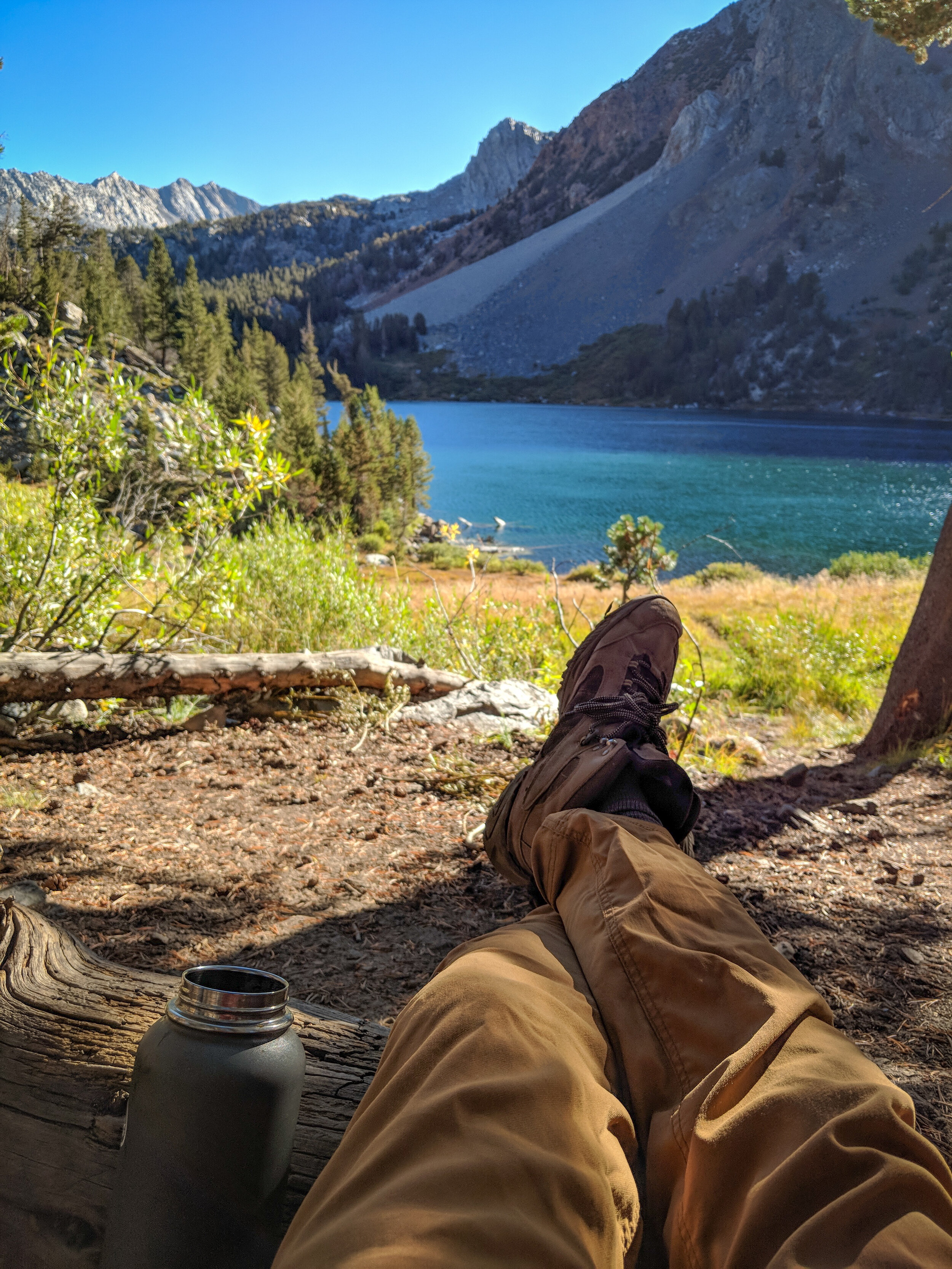
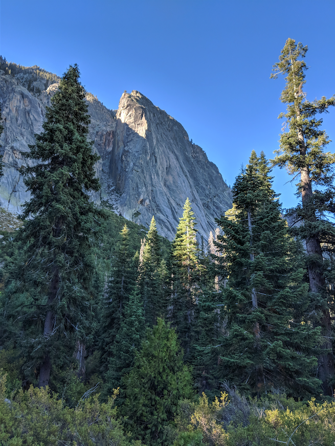
Photo: Hiking along Duck Lake on Day 1
Want More??
Check out our other popular blog posts!