


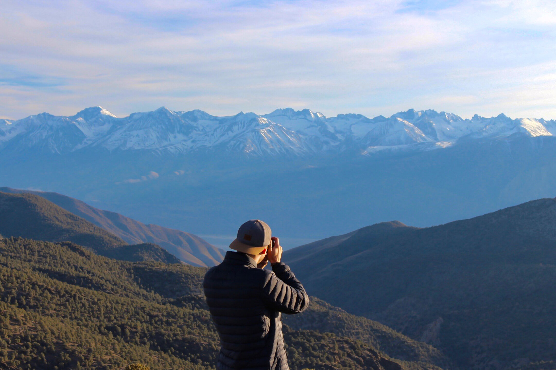
Wondering where to hike in mammoth?
Fear not Friends!! We’ve got you covered with these 3 All-time classic hikes.
Devil’s Postpile and Rainbow Falls
Summary - Two stunning natural features of the Mammoth Lakes wilderness, conveniently lying right next to each other. They can be explored individually or as a 5-6 mi. loop—we highly recommend the loop option!
Distance
Devil’s Postpile: On its own, it’s a .5 mi. hike each way from the Devil’s Postpile trailhead to the base of the monument, with a 1.35 mi. round-trip loop to the top (definitely do it). Total mileage: 2.35 miles round-trip, including a visit to the top.
Rainbow Falls: On its own, it’s 1.3 mi. each way from the trailhead to the top of Rainbow Falls, with an optional 1.4 mi. round-trip extension to the base of the waterfall (also recommended). Total mileage: 2.6 mi. round-trip to the upper falls; 4 miles round-trip if you include the lower falls as well.
Combine Both as a Single Loop Hike - The two can hikes can be combined into a single 5-6 mile loop, starting and ending at the Devil’s Postpile trailhead parking lot.
Total distance will depend on whether you take the optional hike extensions outlined above, but at most would be no more than 6 miles point-to-point. I personally recommend both, but if you have to pick just one, don’t miss the top of Devil’s Postpile.
Elevation - There’s minimal elevation change if you stick to the main trail. Visits to the top of Devil’s Postpile or the bottom of Rainbow Falls add about 200 ft. each.
Photo: Official Park Map | Courtesy via: NPS.gov
Seasonal Timing - Late Spring to early fall only.
Minaret Summit Rd. must be open for the season in order to access the trailhead. The road is typically open just four months out of the year due to snow coverage—usually mid June through mid October.
See links below for up-to-date road conditions and closures:
US Forest Service - Mammoth Ranger District Conditions: Campground and Road Closures
Reaching the Trailhead - Expect a $10 per vehicle entry fee to the park at the Minaret Vista toll booth (zero charge with an America the Beautiful National Parks Pass).
Alternatively, you can take a shuttle bus to Reds Meadow for a minimal fee from the Mammoth Adventure Center (ski resort) parking lot.
Resources
ModernHIker - Devil’s Postpile & Rainbow Falls
GoHIkeIt - Devil’s Postpile & Rainbow Falls Loop
Crystal Lake & Crystal Crag Summit
Summary - One of the most popular day hikes in Mammoth due to its beautiful views, easy accessibility and prominent and impressive position over the Mammoth Lakes Basin area. This well-maintained trail leads to the beautiful high-alpine Crystal Lake with vistas over the entire Mammoth area. If you’re in for more of a challenge, try a class 3 scramble for the summit via the South Ridge of this hike.
Distance - 3.1 mi. round-trip to Crystal Lake; factor up to 6 mi. round-trip if you’re attempting to summit via the South Ridge.
Elevation Gain - 600 ft. to Crystal Lake (9,010 - 9,610 ft.); 1,367 ft. to the Crystal Crag summit (9,010 - 10,377 ft.).
Seasonal Timing - Consistent with other Mammoth area hikes, the crags surrounding the Lakes Basin may have snow as late as May or June. Bring snow & ice traction gear accordingly.
Depending on the year, this trail may be hikeable all the way through November. We completed it on Thanksgiving Day, with heavy snow levels only above Crystal Lake (note: the road above Tamarack Lodge may be closed anytime after October). The Mammoth Lakes Ranger Station will likely be your best resources for up-to-date trail conditions.
Reaching the Trailhead - The Crystal Lake Trailhead is in Google Maps—from Lake Mary Rd., simply follow signs to the Lake George parking lot, then to the Crystal Lake trail.
Options for Completing the Hike
Bike Ride to the Trailhead: This applies to any hike in the Lakes Basin area. Rent bikes in town and take them on a free trolley up to Lake George (the trolley stop is half a block uphill from the Mammoth Brewing Co. restaurant). Bike to the trailhead, complete the hike and pedal a long, fun downhill ride back to town. We had a blast doing this!
Bagging the Summit via the South Ridge: The North and East sides of Crystal Crag are too technical for anyone who isn’t an experienced outdoor climber. However, the south ridge offers a class 3 scramble that leads straight up to the summit, and I hear it’s excellent.
SummitPost.org - Crystal Crag via the South Ridge
SummitPost.org - Climbing Crystal Crag
TahoeBackcountry.net - Summiting Crystal Crag via the South Ridge
What to Pack - Snowshoes or microspikes if you’re hiking anytime before mid June or after late September.
Day of the Hike - Start early or late. This hike can get crowded in the summertime.
Stay Safe - if you decide to scramble for the summit, research ahead and know what you’re getting yourself into. This crag has seen its share of rescue operations.
Resources
SoCalHiker.net - Hike to Crystal Lake in Mammoth
CaliTrails - Hiking Mammoth’s Crystal Lake
Duck Pass
Note: This hike is even better as a backpacking trip! See a fully detailed write-up at our post on Duck Pass to Red’s Meadow via Iva Bell Hot Springs.
Summary - One of the Mammoth area’s best day hikes—a stunning out-and-back trek from the Lakes Basin to the top of Duck Pass, passing an idyllic alpine meadow and a series of crystal blue lakes along the way. Pictures really didn’t do this one justice. You’re surrounded by beauty the entire time, and there’s only so much you can fit into one frame.
Distance - 7.2-11 mi. round-trip, depending on where you decide to turn around.
Elevation - 1,680 ft. (9,120 - 10,800 ft.)
Seasonal Timing - Late Spring to early fall only, unless you’re prepared to hike through snow.
What to Bring - Water is usually the heaviest individual item you’ll bring on a hike. With so much fresh mountain water on this difficult high-elevation hike, experienced hikers may want to reduce the amount of water weight they haul up themselves and simply bring a water filter.
Unexpected Challenges - Elevation comes into play on this hike. Note that the trailhead STARTS at 9,120 ft. and gains over 1,600 ft. from there. Make sure you’ve spent at least one night in the Mammoth Lakes area to acclimatize before jumping straight into this hike.
Resources
M.A.C. Adventures - Backpacking (or Day Hiking) Duck Pass Trail
Anne’s Travels - Duck Pass (she does her hike in snow)
Dragon’s Back Trail
Coming soon!
Mammoth Crest Trail
Coming soon!